
 |
 |
|||||||||||

|
Caboolture
River - Caboolture
|
|
| THE
Caboolture River is a small coastal river that runs into Deception
Bay, at the northern end of Moreton Bay, just south of the Pummicestone
Passage and Bribie Island. The total catchment area is 728km2. The
name Caboolture takes its name from the Aboriginal word Kabul-Tur
meaning place of the carpet snakes. There is good section of navagible
water from the river mouth upto the weir at Caboolture. There are 2 public boat ramps , one on each side of the river near the river mouth. |
|
| The southern ramp is accessed from Uhlmann Rd, Burpengary. This ramp has 2 concrete lanes but is of a low gradient. It can be hard to launch without gettting your car wet. Limited parking available on side of access road. |
Click on image for larger version |
| The northern boat ramp is accessed via Beachmere. Take the Bribie Island exit, turn right into Caboolture - Beachmere Rd, then turn right into Moreton Tce and follow to the end. Here there are 2 separate ramps with a good angle to launch and ample parking. It is probably the prefered launching site, although it is further to drive from Brisbane than the ramp on Uhlmann Rd. |
Click on image for larger version |
| While
not renown as a great fishery, The Caboolture River can and does produce
Bass, Tarpon, Bream, Flathead and Mullet on a regular basis with Mangrove
Jack showing up in the summer months. There is some good stream bank
cover in some areas that is always worth a cast at and plenty of snags,
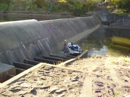
rocks and drop-offs there for those who have a decent fish finder. There has been no reports of Jungle Perch in this river for some years now due to the presence of a weir just upstream of the Bruce Highway at Caboolture. An ineffective fishway on the weir is in dire need of an upgrade to allow native fish to migrate both up and downstream to complete their life-cycle. Bass and Mullet are stocked upstream of the weir by a local Fish Stocking Group. Another problem is the amount of rubbish that can be found in the river around the Bruce Hwy and Caboolture town. There are a few feeder creeks that flow into the Caboolture River. The bigger ones are King John Creek, Goong Creek and Sheep Station Creek. All of these can hold fish at times. |
|
 |
 |
 |
 |
 |
 |
|
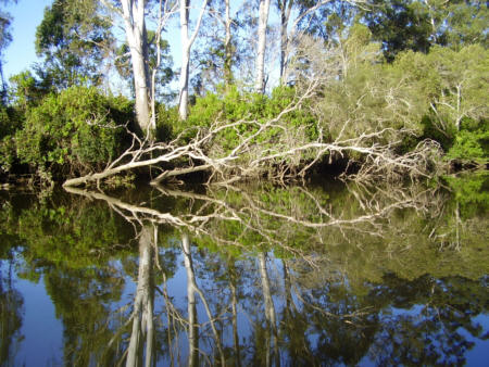
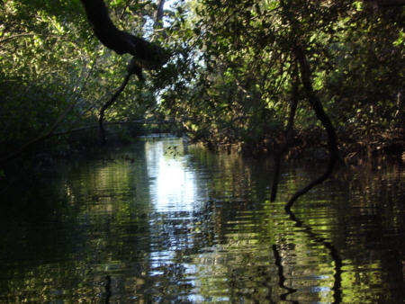
There
are plenty of snags for fish to call home. All of them are worth
a cast.....
|
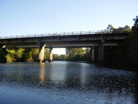
The
Bruce Highway over the Caboolture River
|
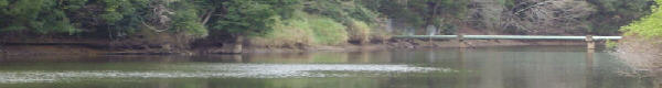
The
Caboolture Weir is a barrier to fish migration
|
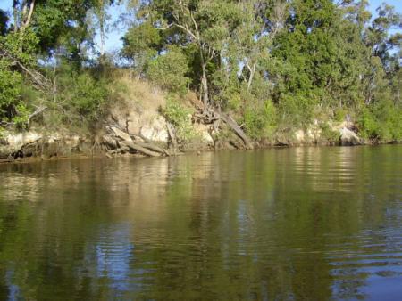
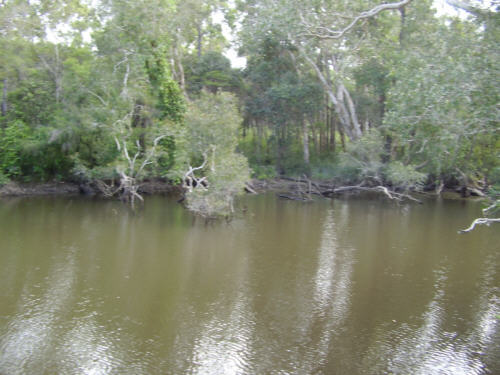
Small
feeder creeks can be home to good fish
|
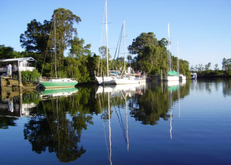
Casting
around moored boats can produce good bream. Dont hit the boats!!!
|
|
|
Click
on any of the images above for a larger version
|
|||||
The top side
of the Caboolture weir is stocked with Australian Bass and Mullet.
It is unsuitable for boating but great for canoes or bank fishing.
There is large areas of bank access through Caboolture.
 |
 |
|
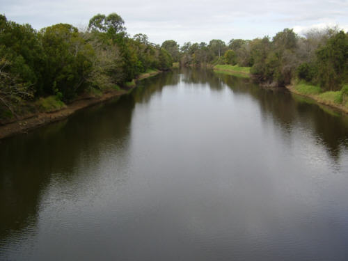
View
from footbridge over Caboolture River
|
Some
suitable fish holding structure is available
|
Related
Links:
Healthy
Waterways Catchment Map
Airial
Picture of Caboolture River mouth by Kevin Halse
|
Copyright©
2006 Garry Fitzgerald. Sweetwater Fishing Australia
|