Burdekin
Falls Dam / Lake Dalrymple. Ravenswood. Qld
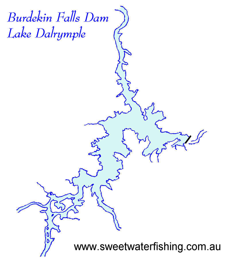
Located
around 80 km south of Ravenswood lies one of Qld's largest
lakes.
Dam Facts
The Burdekin Falls Dam was constructed across the Burdekin
River in 1987 for irrigation.
It has a surface area of 22 400 hectares, an average
depth of 8.3 meters and holds 1 860 000 mega-litres
of water at full capacity.
Tributaries of Lake Dalrymple include the Burdekin River,
Sellhiem River, Suttor River and the Rollston River.
Fishing Fish found in Lake Dalrymple include: Eels, Archerfish,
Sooty Grunter, Sleepy Cod, Longtom, Leathery Grunter,
Golden Perch, Silver Perch, eel tailed catfish, fork
tailed catfish and Barramundi.
Only Barramundi are stocked regularly, the remainder
have self sustaining populations. There are also Redclaw
crayfish present.
* A Stocked Impoundment Permit (SIP) is required to
fish Lake Dalrymple / Burdekin Falls Dam.
Boating
Lake Dalrymple is open to all boating activities. No
restriction apply.
Concrete boat ramp provided.
Facilities
Public facilities include: picnic areas, wood BBQs,
picnic tables / shelters, toilets and cold showers.