The
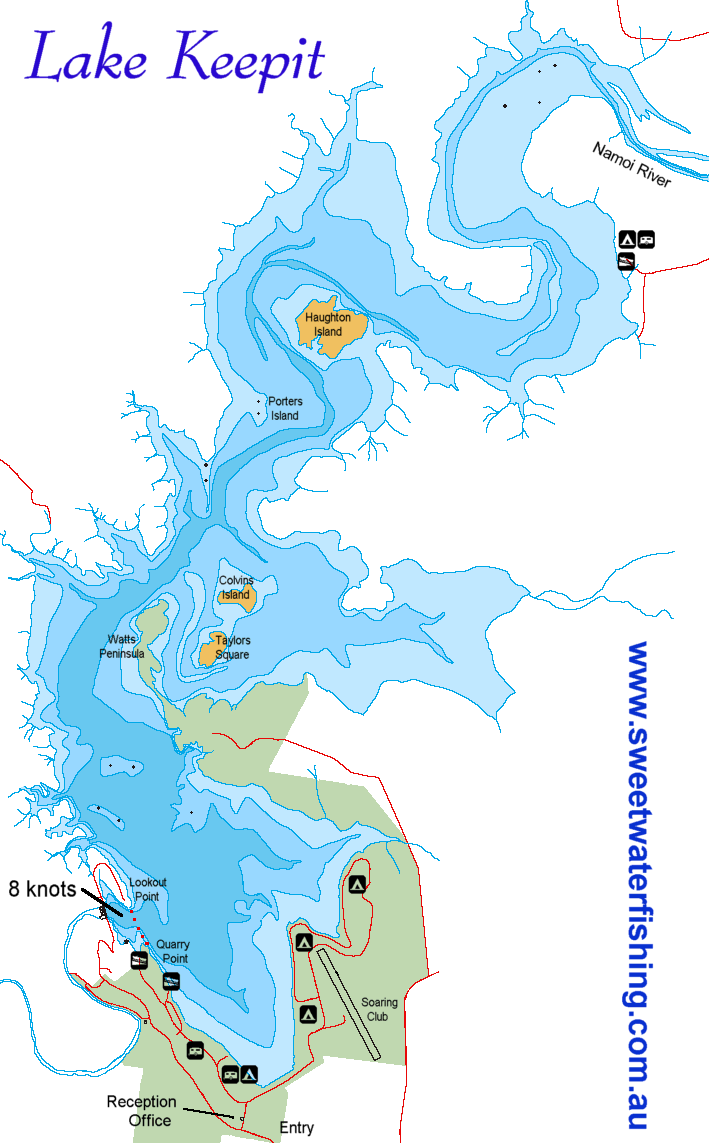
Keepit Dam was constructed in 1961. It is located 13km on
the Namoi River 13 km upstream from the junction with the
Peel River.
Lake Keepit has a storage capacity of 425 000 mega-litres
when full.
Its primary uses is for irrigation in the Namoi Valley as
well as town water supply for Walgett and serves as flood
mitigation and hydro-electric station when releasing water.