|
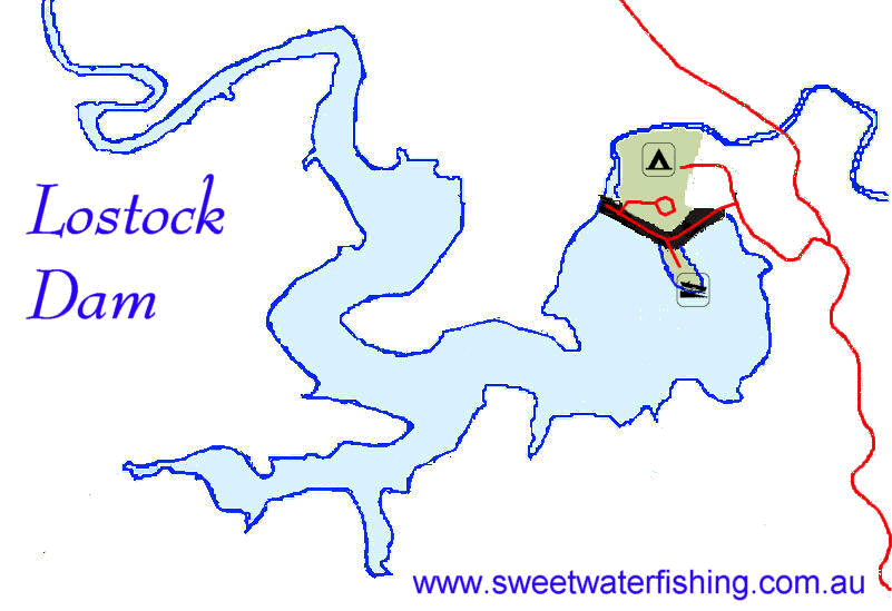
Lostock
Dam - East Gresford. NSW
|
Lostock
Dam was built across the Paterson River in 1971 for irrigation
and town water storage.
|
Lostock
Dam Fact Box
|
| Nearest
Town |
Singleton |
| Construction
Date |
1971 |
| Surface
Area |
220
hectares |
| Average
Depth |
15
meters |
| Greatest
Depth |
26
meters |
| Capacity |
20
000 mega litres |
| Catchment |
227
sq. km |
Fishing
Australian Bass, Eel-Tailed Catfish and Eels.
Australian Bass are stocked on a regular basis.
Boating
All forms of boating are permitted except waterskiing and jetskis.
A speed limit of 8 knots is enforced throughout the Lostock Dam.
No boating is permitted adjacent to the spillway and intake tower.
Facilities
Toilets, BBQs. drinking water, picnic shelters, rubbish bins and
showers.
Camping
Camping and caravan sites provided on site - fees apply.
Related
Topics:
Lostock
Dam Water Level Link
Purchase
NSW Fishing Licence Online
Click
on map for printable version
Lostock
Dam Google Map